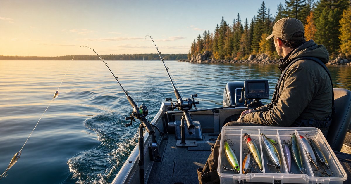
The National Oceanic and Atmospheric Administration (NOAA) provides free, highly accurate tide predictions for over 3,000 stations along US coastlines, rivers, and bays. If you fish salt or brackish water anywhere in the United States, NOAA tide charts are the gold standard resource — and knowing how to read them can transform your planning.
What Is a NOAA Tide Chart?
A NOAA tide chart is a graphical prediction of water level changes over time at a specific location. It's generated using a harmonic analysis of historical tidal data — essentially, NOAA has measured tides at thousands of locations for decades, identified the mathematical patterns, and projects those patterns forward.
The result is a sinusoidal curve (a wave shape) showing:
- Time on the horizontal axis (usually one day or one week)
- Water level in feet on the vertical axis, measured relative to a datum (typically MLLW — Mean Lower Low Water)
- High and low tide markers at the peaks and valleys of the curve
- Exact times and heights for each high and low tide event
How to Read the Basics
When you open a tide chart for a specific NOAA station, you'll see a daily prediction showing two high tides and two low tides (in most locations). Here's how to interpret the key elements:
Tide height (feet): This is measured from the Mean Lower Low Water datum — essentially the average of all lower low tides over a 19-year period. A reading of "0.0 ft" means water is exactly at that average low; a reading of "-0.5 ft" means it's 6 inches below that reference level.
Tide range: The difference between high and low tide determines how much current is generated. A range of 5+ feet creates powerful currents; a range of 1 foot barely moves water. Greater range = more fishing opportunity.
Timing: Note when tides peak and trough. The period of strongest current typically occurs midway between high and low tide.
Finding Your Nearest NOAA Station
NOAA's CO-OPS (Center for Operational Oceanographic Products and Services) website at tidesandcurrents.noaa.gov lets you:
- Search by location name, zip code, or browse an interactive map
- Select your nearest active or subordinate station
- View daily, weekly, or monthly tide predictions
- Download data as CSV or print predictions
Important: Not all stations are equal. Primary stations have direct measurements. Subordinate stations use mathematical corrections applied to a nearby primary station — they're accurate but may have slight timing offsets.
Understanding Tidal Datums
NOAA uses several reference datums you'll see on charts:
- MLLW (Mean Lower Low Water): The most common tide datum. Heights on most tide charts are relative to this.
- MLW (Mean Low Water): Slightly higher than MLLW; used in some inland applications
- MHW (Mean High Water): Average high tide level — useful for understanding how far water rises above the low
- MHHW (Mean Higher High Water): Average of the higher of each day's two high tides
For fishing purposes, you mostly care about the relative change in water level, not absolute datum values.
Diurnal vs. Semi-Diurnal Tides
Not all US coastlines experience the same tidal pattern:
Semi-diurnal (most of the US East Coast): Two nearly equal high tides and two low tides per day. Cycles repeat approximately every 12 hours and 25 minutes.
Mixed semi-diurnal (US West Coast, Gulf Coast): Two highs and two lows per day, but with significant inequality — one high is notably higher than the other. The "higher high" and "lower low" are marked separately on NOAA charts.
Diurnal (some Gulf Coast areas): Only one high and one low tide per day. This creates very different fishing dynamics — a single, long flood tide followed by a long ebb.
Correcting for Local Conditions
NOAA tide predictions are for astronomical tides — what would happen if weather were neutral. In reality, several factors modify actual water levels:
Wind: Strong onshore winds can push water 1–2 feet higher than predicted; offshore winds lower it. During hurricanes, storm surge can raise tides by 10+ feet.
Barometric pressure: Low-pressure systems raise water levels slightly (inverse barometer effect); high pressure lowers them. The effect is small — roughly 1 inch per 0.1 inHg deviation from standard.
River discharge: Near river mouths, heavy rainfall upstream can raise water levels and alter the timing of tidal effects.
When fishing during extreme weather or after heavy rain, add 15–30 minutes of local knowledge to NOAA's predictions.
Practical Planning with Tide Charts
Step 1: Look up tide predictions for your nearest NOAA station 3–7 days ahead.
Step 2: Identify days when the most productive tide stages (incoming or outgoing) coincide with your available hours.
Step 3: Cross-reference with moon phase. Tides near new and full moon have greater range and create stronger currents.
Step 4: Check the weather forecast. Avoid post-cold-front days even if tides look perfect.
Step 5: Use HookCast to overlay solunar timing on tide data. Days when a major solunar period coincides with peak tidal current during the incoming or outgoing tide are the highest-probability fishing windows.
HookCast + NOAA: Better Together
HookCast pulls live NOAA tide data for thousands of US stations and integrates it with our fishing score algorithm. Rather than manually comparing tide charts with solunar tables and pressure trends, you get a single real-time fishing score that accounts for all variables simultaneously. Check the tides page for your nearest coastal location — it shows today's complete tide curve with hour-by-hour fishing condition ratings.
FAQ
Are NOAA tide predictions 100% accurate?
NOAA tide predictions are highly accurate under normal conditions, but they are astronomical predictions based on mathematical models — they don't account for weather. Strong winds, storm surge, or significant barometric pressure changes can cause actual water levels to deviate noticeably from predicted levels. Always check local weather conditions alongside tide charts for the most reliable planning.
What is the difference between a primary station and a subordinate station?
A primary station has its own direct, long-term tide measurement equipment on-site. A subordinate station doesn't have independent measurements; instead, NOAA applies mathematical time and height corrections to data from a nearby primary station. Subordinate stations are generally reliable, but you may notice small timing or height differences compared to actual conditions, especially in complex waterways.
How far in advance can I view NOAA tide predictions?
NOAA typically publishes tide predictions up to one year in advance, and sometimes further. Because the predictions are based on astronomical calculations rather than weather forecasting, long-range tide times and heights are just as mathematically reliable as tomorrow's — though again, real-world conditions can vary due to weather.
What does a negative tide height mean on a NOAA chart?
A negative tide height — for example, -0.5 ft — means the water level is falling below the MLLW (Mean Lower Low Water) datum, which represents the average of historical lower low tides. Negative tides expose areas that are normally underwater, which can be useful for accessing shallow flats or understanding extreme low-water conditions.
Do I need to use the NOAA station closest to where I'm fishing?
Generally, yes — the closer the station, the more relevant the predictions. However, in bays, estuaries, or river systems, tidal timing and height can vary significantly over short distances due to geography. If no station exists at your exact fishing spot, look for a subordinate station in the area, or use the nearest primary station as a general guide while accounting for potential local variations.